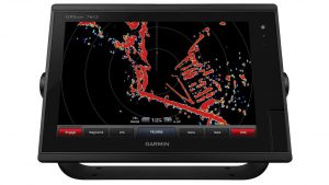
In terms of global positioning devices, Garmin has been a top the industry since their inception in 1989. The latest release is the Garmin 7612 Chartplotter . Designed for cruisers, sailors and sailing racers who demand quality marine products, ease of operation and cutting-edge features. Available now, this GPS chartplotter has tons of new features to have you feeling like a true adventurist.
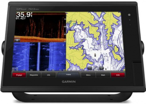
- Garmin 7612 chartplotter with 12-inch multi-touch widescreen display has a 10 Hz internal GPS that updates position and heading 10 times per second.
- You can add your choice of Garmin marine radar, including our powerful xHD2 open array radars or xHD dome radars that pairs ease of use with advanced open array features.
- It is fully network capable, including the Garmin Network and NMEA 2000.
- The Garmin 7612 also pairs easily with dome or array radars. The 7612 comes preloaded with BluChart g2 maps as well as LakeVu HD maps.
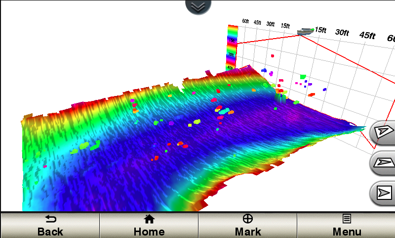
- Supports GSD™ premium sonar and GCV™ scanning sonar modules
- In addition to basic charts the Bluchart g2 features tidal stations, currents, depth contours, and more to provide the highest level of safety during your adventure.
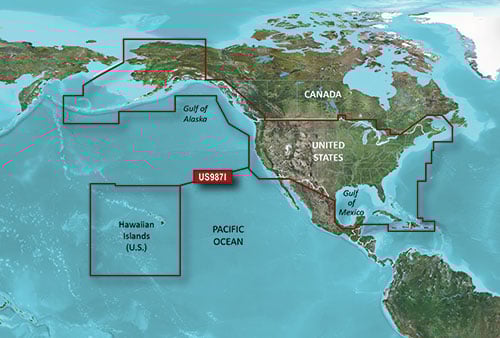
Preloaded BlueChart g2 Maps
In addition to basic charts, tidal stations, currents, depth contours, IALA symbols and included fishing charts, BlueChart g2 offers smooth transitioning between zoom levels and more seamless continuity across chart boundaries. You can customize your screens with Safety Shading that allows you to shade all depth contours shallower than your boat’s safe depth. Fishing charts emphasize bathymetric contours with less visual clutter on the display. And there’s also a choice of standard 2-D direct overhead or 3-D “over-the-bow” map views for easier chart reading and orientation.
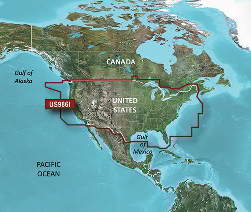
Preloaded LakeVü HD Maps
These highly detailed freshwater maps include 17,000+ U.S. lakes, rivers and reservoirs. Included in those are more than 13,000 HD lakes with 1-foot contours shoreline to shoreline; excellent detail of underwater features plus Shallow Water Shading that allows you to designate a minimum depth; interstates, highways, general roads and bridges; designated fishing areas; and points of interest, such as docks, boat ramps, marinas and campgrounds.
- The Garmin 7612 also comes equipped with sailing specific features, which included include laylines, enhanced wind rose, heading and course-over-ground lines, true wind data fields.
–All aimed at making your time on the water safer and more efficient while still allowing you too have the fun you set out to have!
Staying connected with the Garmin 7612 Chartplotter has never been easier with built in WiFi and the
ActiveCaptain app which allows you to manage you marine experience from almost anywhere. Whether loading new maps or plotting a charter the 7612 allows you the chance to do it. One of the most important features is one that we hope you never have to use, the SOS safety assist feature makes it easier for anyone to call the Coast Guard in case of an emergency. Garmin as a whole continues to push the envelope in terms of technology and advancements in GPS integration, we look forward to what they bring us in the future.
To learn more about the Garmin 7612, click here.
To Schedule Installation of Any Touchscreens, GPS or Not, Please Email [email protected]